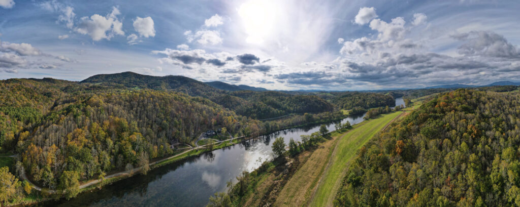
Transylvania County is North Carolina’s Land of Waterfalls, offering access to 250 different waterfalls within just a few miles of each other. Exit the Parkway at MP 411.8 to see them for yourself!
Warning: Waterfalls are beautiful but dangerous and slippery; each year people die while climbing waterfalls or exploring off-trail near waterfalls. Please stay on the trail, view waterfalls from a distance, and return home safely! As a reminder, it is illegal to swim in any waters within the boundaries of the Blue Ridge Parkway.
Waterfalls of Pisgah National Forest:
Slick Rock Falls, Discovery Falls, Log Hollow & Upper Log Hollow Falls, and Logging Road Falls
6.5 Miles from BRP via US-276 S and unpaved Headwaters Road (Forest Road 475B which is unsigned)
Distance: Up to 2.5 Miles (round-trip, further if Headwaters Road is gated)
Difficulty Level: Easy to Moderate
Moore Cove Falls
8.5 Miles from BRP via US-276 S
Distance: 1.2 Miles (round-trip)
Difficulty Level: Easy
50-foot falls. Water drops over a rock ledge that you can walk behind.
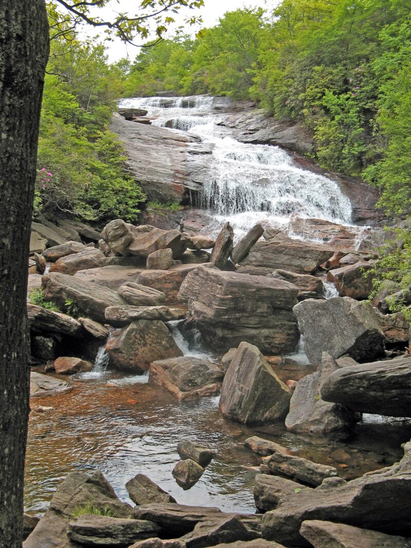
Looking Glass Falls ♿
9.5 Miles from BRP via US-276 S
View from the roadside or descend the steps to the base of the falls.
The name comes from nearby Looking Glass Rock which resembles a mirror in the winter when sun reflects on its icy side.
Daniel Ridge Falls
13.8 Miles from BRP via US-276 S and Forest Road 475
Distance: Approximately 5.0 Miles (round-trip)
Difficulty Level: Moderate
Almost half the Daniel Ridge trail parallels the Davidson River. The falls are a 150-foot cascade.
Note: The devastating flooding on August 17, 2021 caused a landslide along the Daniel Ridge Trail. Although the trail is open, hikers are urged to exercise caution. Check the current status by calling the Pisgah Visitor Center during regular business hours.
Waterfalls of DuPont State Recreational Forest:
Hooker Falls, Triple Falls and High Falls
♿ (Hooker Falls)
26.3 Miles from BRP via US-276 S, US-64 E, Crab Creek Rd, DuPont/ Staton Rd at the Hooker Falls Access Area
Distance: 2.2 Miles (round-trip)
Difficulty Level: Easy
Three waterfalls relatively close together with scenery seen in “Hunger Games” and “Last of the Mohicans” movies.
Bridal Veil Falls
30 Miles from BRP via US-276 S, US-64 E, Crab Creek Rd, DuPont/ Staton Rd, Cascade Lake Rd and Reasonover Rd at the Fawn Lake Access Area
Distance: 5.0 Miles (round-trip)
Difficulty Level: Easy
120-foot falls featured in a “Hunger Games” movie.
Nantahala National Forest:
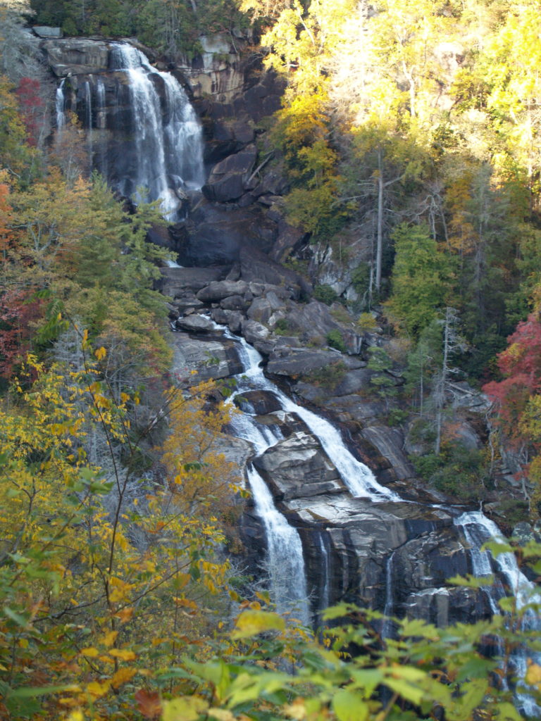
Upper Whitewater Falls ♿ (first overlook)
45.2 Miles from BRP via US-276 S & US-64 W; day use fee required
Distance: 0.25 Mile (one-way) to upper platform, lower viewing platform is an additional 0.5 Mile (one-way) down a steep set of 150+ steps for a round-trip of 1.5 Miles
Difficulty Level: Easy to Moderate
Very popular 411-foot falls borders Jackson County. This waterfall is pictured above.