The last Tuesday in January is National Plan for Vacation Day. Academic research shows that trip planning and anticipation bring positive effects. I call that hope. Hope for kindness. Hope for caring and generosity. And hope for safe travel.
The international cruise that my husband and I had planned for 2021 was canceled. So we took the cat camping and visited Wytheville, VA, Luray Caverns, Shenandoah National Park, and the Ridge Region of the Parkway. Our 2022 international cruise was derailed due to a COVID diagnosis and gas prices are pretty high currently, so it looks like we’ll be staying close to home for now.
Here are some tips that I have gleaned from planning previous Parkway travels:
- Collect a list of new places that appeal to you. As I discover cool places described in BRPA materials (website, app, or printed travel planner), I add them to my travel wish list on a pad of paper (you could also save them to your favorites in our app). These are some of the things I have added to my list:
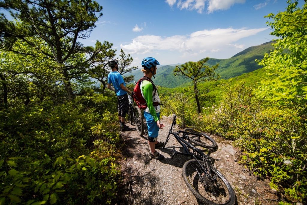
- Hikes—the Coolest Hike in Virginia, Nelson County’s Crozet Tunnel Greenway that travels underneath Rockfish Gap
- Restaurants—Olde Liberty Station in Bedford, VA for a legendary cheesecake
- Breweries—Devils Backbone in Nelson County, VA
- Stores—Nancy’s Candy Company and Poor Farmers Market in Meadows of Dan, VA
- Gem mines—Emerald Village in Spruce Pine, NC
- Wineries—Cardinal Point Winery in Nelson County
- Caverns—Luray Caverns in Luray, VA, Skyline Caverns in Front Royal, VA
- Cultural sites—Oconaluftee Indian Village & Unto These Hills in Cherokee, NC
- Museums—VA Museum of the Civil War & New Market Battlefield State Historical Park in New Market, VA
- Holiday traditions—Dollywood in Sevierville, TN has a magical Christmas light display
- Spectacular view—Ober Gatlinburg in Gatlinburg, TN and High Bridge Trail State Park
If those things don’t appeal to you, check out itineraries for many different regions of the Parkway here and maybe something else will whet your travel appetite. Or check out our interactive map which filters by many different activities so you can see where each is located and find more details.
- Add any places you’d like to re-visit. These are some of our favorites from our recent travels:
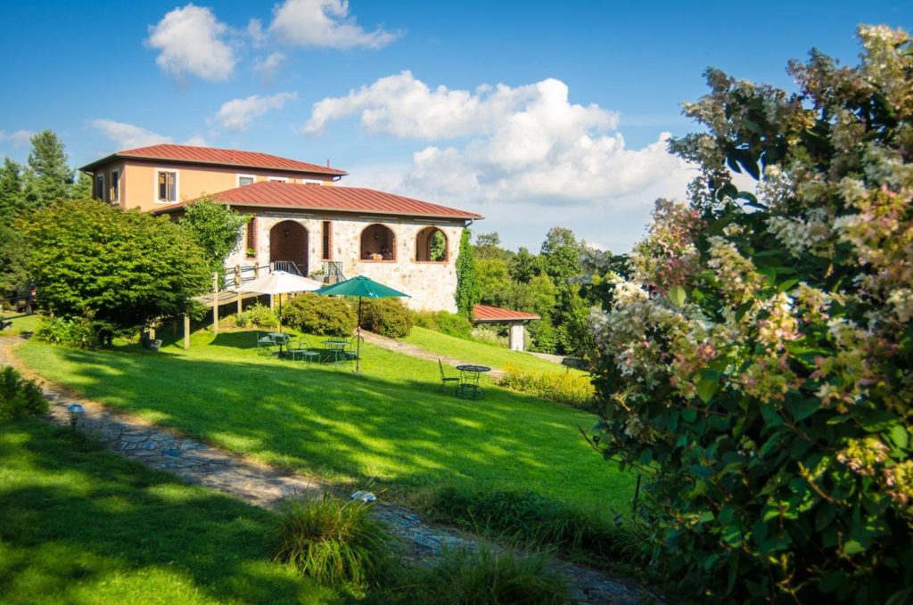
- Fancy Gap Cabins & Campground in Fancy Gap, VA (Milepost 199.4) for amazing sunsets and wonderful hospitality at this private campground located directly on the Parkway.
- Raspberry Taxi wine and wood-fired pizzas outside at Villa Appalaccia Winery near Floyd, VA
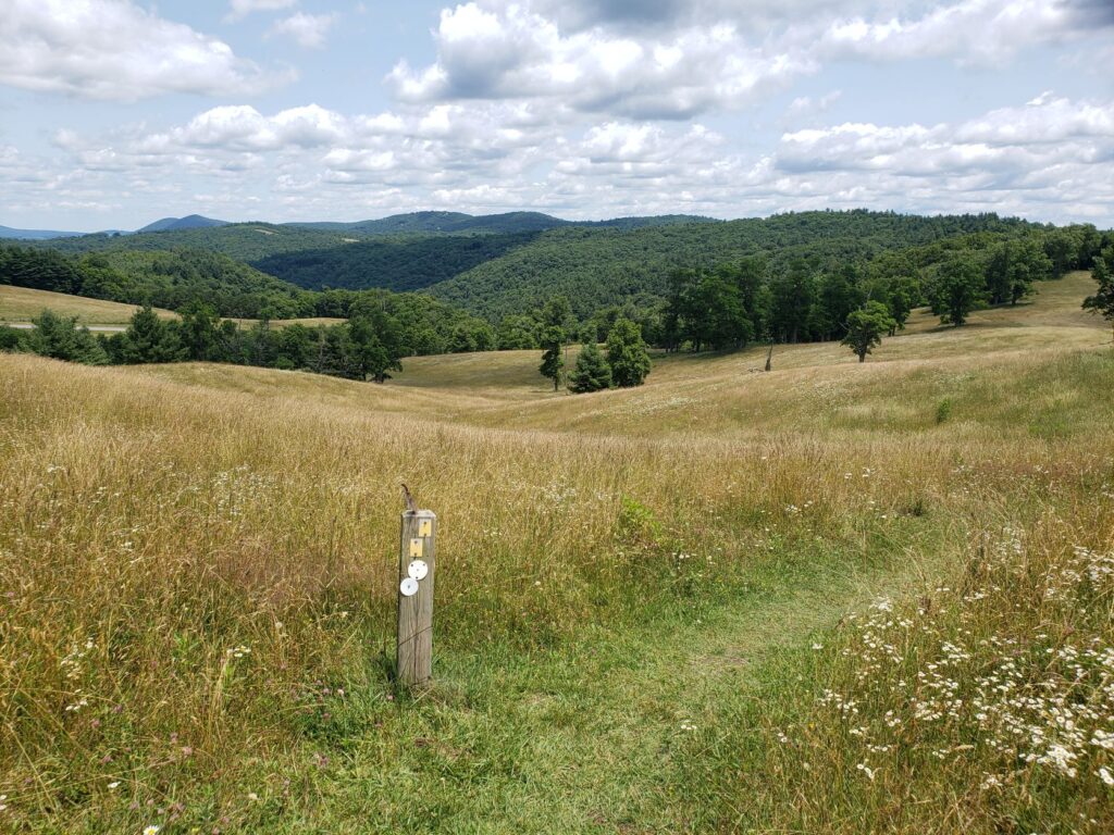
- Doughton Park to camp and hike more of the Mountains to Sea Trail. This is my current favorite place on the Parkway for its serenity, rolling grasslands, and availability of fried chicken at the Bluffs Restaurant.
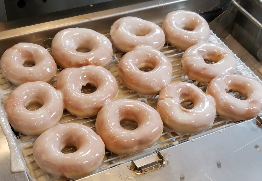
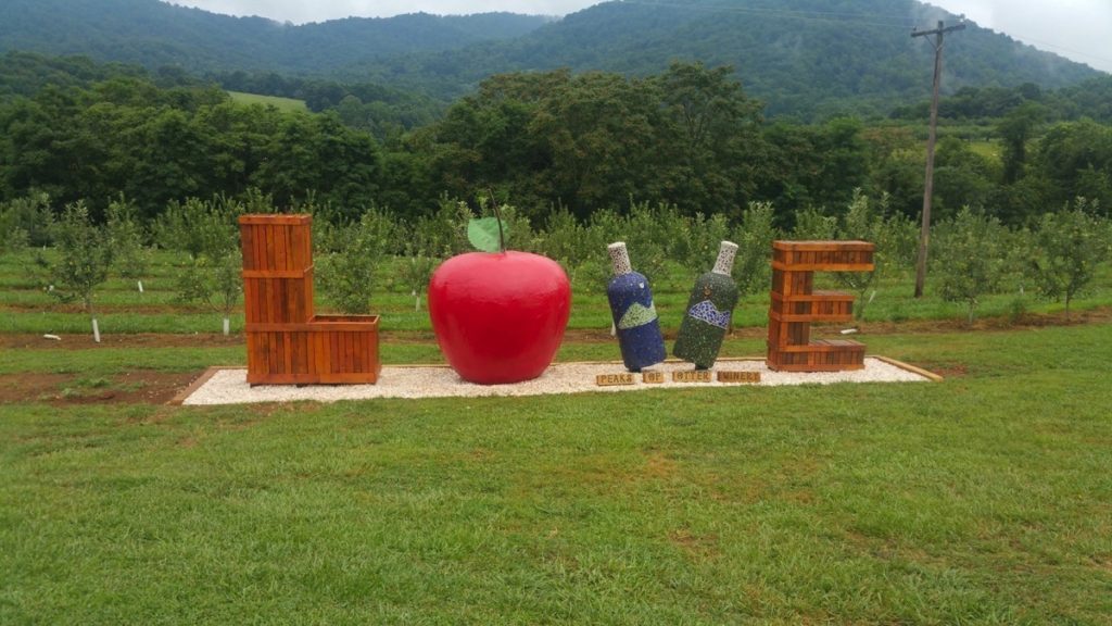
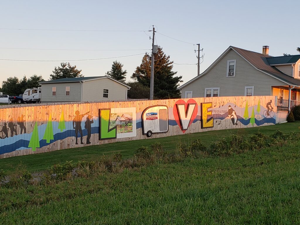
- Peaks of Otter Winery in Bedford for a photo with the LOVEwork sign and the most delicious apple cider doughnuts anywhere.
- The New River Trail in Wytheville, Virginia
- Consider social distancing. I am asking questions like: Is it easy to socially distance? Are other visitors being cautious at the site? What protocols are in place? Is the experience indoors or outdoors? Can I get food to go?
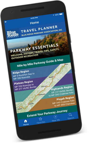
4. Plot places on a map. My next step is to plot my desired locations on a map of the Parkway. You can absolutely do this online in a mapping program (just keep in mind that maps sometimes lie, especially about what sections of the Parkway are currently open), but I am going to start with a paper map so I can see where all the locations are. To locate the sites, you can use the search box on our website (each location has a page showing more information and the closest Parkway access point), use our interactive map, or download our BRPA Travel Planner app (an added bonus here is that each BRPA member’s listing will have an option to view the location on a map or get driving directions). In the app, you can even save places to your favorites to be able to locate them easier later. And, if you download the optional offline maps, you’ll have them saved on your device if you are traveling and don’t have internet access or cell service.
- Determine your lodging. After I have plotted locations on a map, I can guess how much of the Parkway we can travel in a day based on how many stops I want to make along the way and then pick lodging locations accordingly. Keep in mind that the speed limit on Skyline Drive is 35 miles per hour and the Parkway’s speed limit varies from 35 to 45 miles per hour depending on the location. And some areas of the Parkway (like Asheville and Roanoke) have more lodging options available closer to the Parkway than other areas. Our interactive map visually shows where different types of lodging are located along the Parkway and would be a super resource during this stage of planning. To determine lodging locations, you’ll also have to factor in your desired route.
- Plan your route. If you are stopping at motels or tent camping, this might be easier to plan. But if you are bringing a pet, towing a trailer or have a larger vehicle, then that will affect your logistics. If you have a question about a venue’s accessibility for your rig, one option is to utilize satellite imagery in mapping programs like Google maps. You can zoom in to see how big a parking lot is, if there is parking for bigger rigs, and if there is more than one access point to the parking lot. And if you are bringing a pet, will you need a home base for the pet to stay while you are touring or can your pet come with you into the various venues? Note that some sections of the Parkway may be closed for repairs or maintenance, so be sure to check the NPS road closures page for details or our Road Conditions page for information and detours that may affect your route.
7. Plan for off season and midweek. Many lodging facilities are open year-round, being busiest in October during leaf season. Most Parkway campgrounds may not open until the end of May (a couple may open earlier for fishing season- check NPS Operating Hours & Seasons for more details) but that is subject to change. And keep in mind that there’s no firm date for when the Parkway will open to motorists; it is based on weather and safe road conditions.
8. Be flexible. Since much of the Parkway is subject to winter closures due to snow and ice and we don’t know exactly when portions of the road will be open, it is wise to have a back-up plan in case of road closures or not make reservations yet.
I hope that you are just as excited as I am about the many things to see and do along the Blue Ridge Parkway. I will be right there with you, hoping, planning, and dreaming.