Digital & Print Parkway Brochures
As a designated National Scenic Byway, the Blue Ridge Parkway offers one of America’s most scenic drives — stretching through 469 miles of mountains in Virginia and North Carolina. While the views are unbeatable, cell service and GPS reception can become unavailable along the way. That’s why we recommend using reliable maps and travel brochures — your most trusted travel companions on your Parkway journey.
Use digital downloads, print guides, and the official Parkway travel app to explore safely and discover the best overlooks, attractions, and mountain towns along your route.

Parkway Tip
Before your trip, check the Blue Ridge Parkway Road Conditions page or review National Park Service Parkway Alerts for real-time updates on closures and weather.
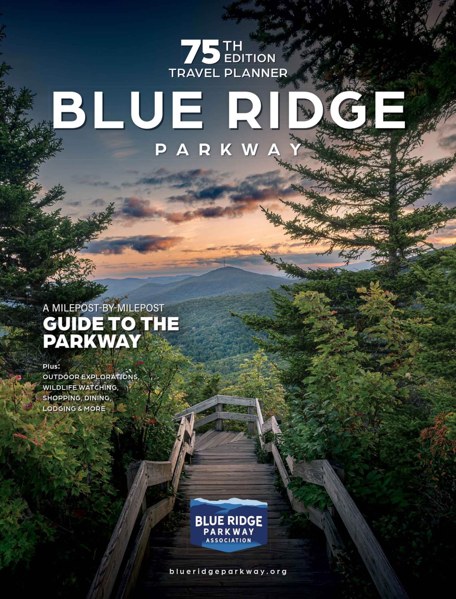
Plan Your Parkway Adventure with the Blue Ridge Parkway Travel Planner
Travel brochures never go out of style, especially where GPS can’t reach. View or download a free copy of the Blue Ridge Parkway Travel Planner for trip ideas, regional highlights, and local businesses. For added security and an extra tool to guide you, consider downloading or printing the Blue Ridge Parkway Map.

Parkway Tip
Prefer to plan ahead with physical materials? Request a brochure or pick one up at Parkway Visitor Centers, local Welcome and Visitor Centers, or select AAA offices in Virginia and North Carolina.
Download the Travel Planner
Map out your Parkway trip with a digital version of our complimentary travel guide.