A one-day trip through the Pisgah Region is a long drive – perhaps best undertaken from the comfort of your car – but comes with unique rewards. There is a natural resource emphasis that features relic populations of plants and long vistas across rugged and remote wilderness areas.
From Mount Mitchell (Milepost 355.3) to places like Craggy Gardens (Milepost 364.3) and Devil’s Courthouse (Milepost 422.2), you’ll see sites and facilities that highlight the story of biological diversity as a product of the area’s varied geology and topography. In the Asheville corridor, the Folk Art Center (Milepost 382) and Blue Ridge Parkway Visitor Center (Milepost 384) emphasize the craft heritage and the natural, cultural, and recreational resources of the Blue Ridge region.
Morning
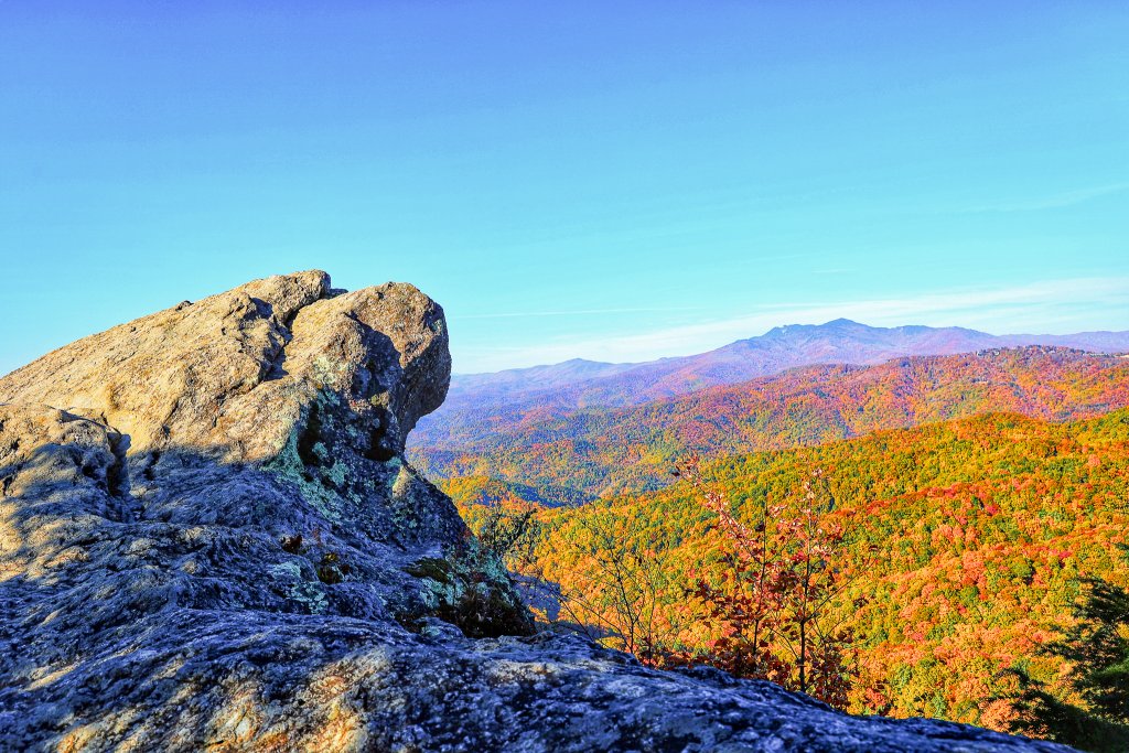
Heading out of Spruce Pine or Little Switzerland in the morning, you will notice the number of tunnels in this stretch of the Parkway through the rugged mountains of North Carolina. Mark Crabtree Falls as a place to come back when you have time to hike the trail (~2.5 miles round trip) to this magnificent Parkway feature. Mount Mitchell is always worth a quick stop to see the view from the highest point in North Carolina. The state park is free to enter, but access may be limited during peak visitation as rangers wait for parking spaces to open within the park. And be sure to bring layers- the temperature at the top is usually much cooler than the surrounding area. At Craggy Gardens (Milepost 364.5), stop at the visitor center for great views and exhibits on the rhododendrons that blanket the mountains here, drawing visitors for generations. A short hike (.3 miles one way) leads to a shelter built by the Civilian Conservation Corps in the early days of Parkway construction.
Mid-Late Afternoon
In Asheville, visit the Southern Highland Craft Guild’s Folk Art Center (Milepost 382) and the Blue Ridge Parkway Visitor Center with film and exhibits (Milepost 384). Lunch in Asheville at the Grovewood Village or head south for a picnic at Mount Pisgah or lunch at Pisgah Inn‘s restaurant (Milepost 408.6).
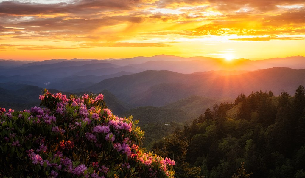
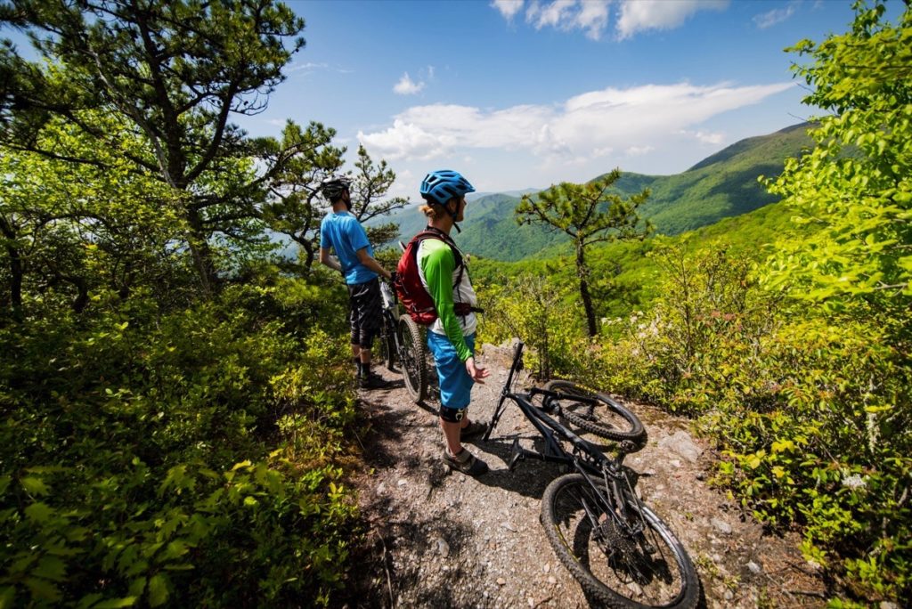
Take your time as you enjoy “the top” of the Parkway with elevations consistently over 5,000 feet and topping 6,000 feet for a short distance. This is, without a doubt, the place where the Parkway feels the most like wilderness. At Graveyard Fields (Milepost 418.8), or Devil’s Courthouse (Milepost 422.4), stretch your legs by strolling at least part of trails that lead to vistas.
Late Afternoon – Early Evening
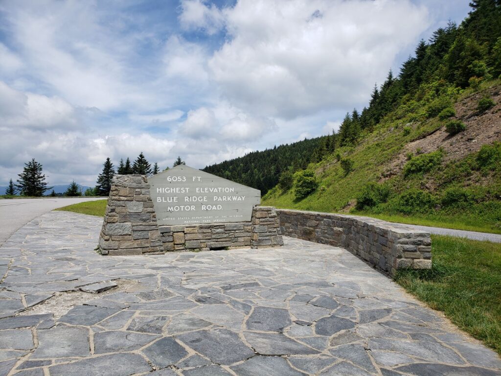
At Richland Balsam Overlook (Milepost 431.4), the Parkway tops out at 6,053 feet for excellent photos. The panoramic view at Waterrock Knob (Milepost 451.2) has led to its reputation as the best location anywhere on the Parkway to view sunrises and sunsets. It is less than 20 miles to the end of the Parkway at Cherokee, NC for an evening of dining and experiencing the Native American culture of the Cherokee.